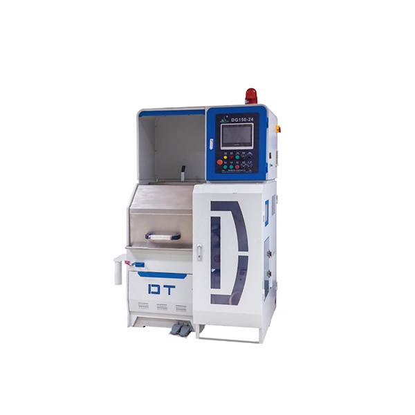

Electrical resistivity, induced polarization (IP), and transient electromagnetics (TEM) can help gold exploration teams identify targets for follow-up. Resistivity surveys can map electrical contrasts related to rock units, alteration, or structures. IP can help delineate chargeable material, including some disseminated sulfides. TEM can help trace conductive bodies. The suitability of each method depends on the expected contrast between the target and surrounding rocks, as well as survey geometry, overburden, and field noise.
The five providers below are presented in editorial order. They cover ground instruments, data workflows, and contracted airborne surveys. Use the list to compare options for your planned survey and the deliverables your team needs.
Geomative
Brand Introduction
Founded in 2011 and based in Shenzhen, Geomative develops geophysical instruments and software for field acquisition, data processing, and interpretation. The company reports serving customers in more than 50 countries and regions and holds National High-Tech Enterprise certification in China.
Core Technology & Products
-
GD-10 Resistivity and IP Imaging System. A modular system that supports multiple electrode arrays and roll-along acquisition for extending survey lines. With compatible accessories, it can be configured for surface, tunnel, borehole, or underwater surveys.
-
GD-20, GD-22, and GD-32 Multi-Channel Systems. Confirm the GD-20 receive-channel count against the version being ordered. The GD-22 and GD-32 have six and twelve receive channels, respectively. Both list maximum transmit ratings of 15 kW, 1,500 V, and 10 A, plus 24-bit A/D conversion, a 140 dB dynamic range, and selectable 50 Hz or 60 Hz power-line rejection of at least 120 dB. Both support full-waveform acquisition and list support for more than 1,000 addressable electrodes. Compare electrode expansion and simultaneous receive channels separately when estimating survey coverage and acquisition time.
-
GT-Series Transient Electromagnetic Systems. The GT-10 is designed for applications including mineral exploration. The GT-20 is intended for tunnel advance investigation, the GT-30 for shallow TEM surveys, and the GT-40 for borehole TEM. For a mineral target, the useful depth of investigation depends on the transmitter and receiver configuration, target size and conductivity, overburden, and field noise.
-
DIGspace Geoscience Platform. DIGspace supports ERT inversion, 3D visualization of supported datasets including ERT, GPR, and borehole logs, and web-based collaboration. For online inversion, confirm the supported method module and acquisition configuration. Geomative Studio supports export of GD-10 data in formats including TXT, Excel, DAT, and URF.
Differentiated Value
The GD-10’s modular cabling and roll-along workflow support surveys with different line lengths and electrode layouts. Its field display lets crews review measurements and repeat questionable readings while the survey line is still in place. Teams can then carry the data into the appropriate processing and interpretation workflow.
Industries Served
Geomative’s equipment and workflows are used in mineral exploration, groundwater investigations, dam and tailings monitoring, urban subsurface surveys, landfill leakage investigations, tunnel advance investigation, and archaeological or heritage-site surveys.
Field Applications
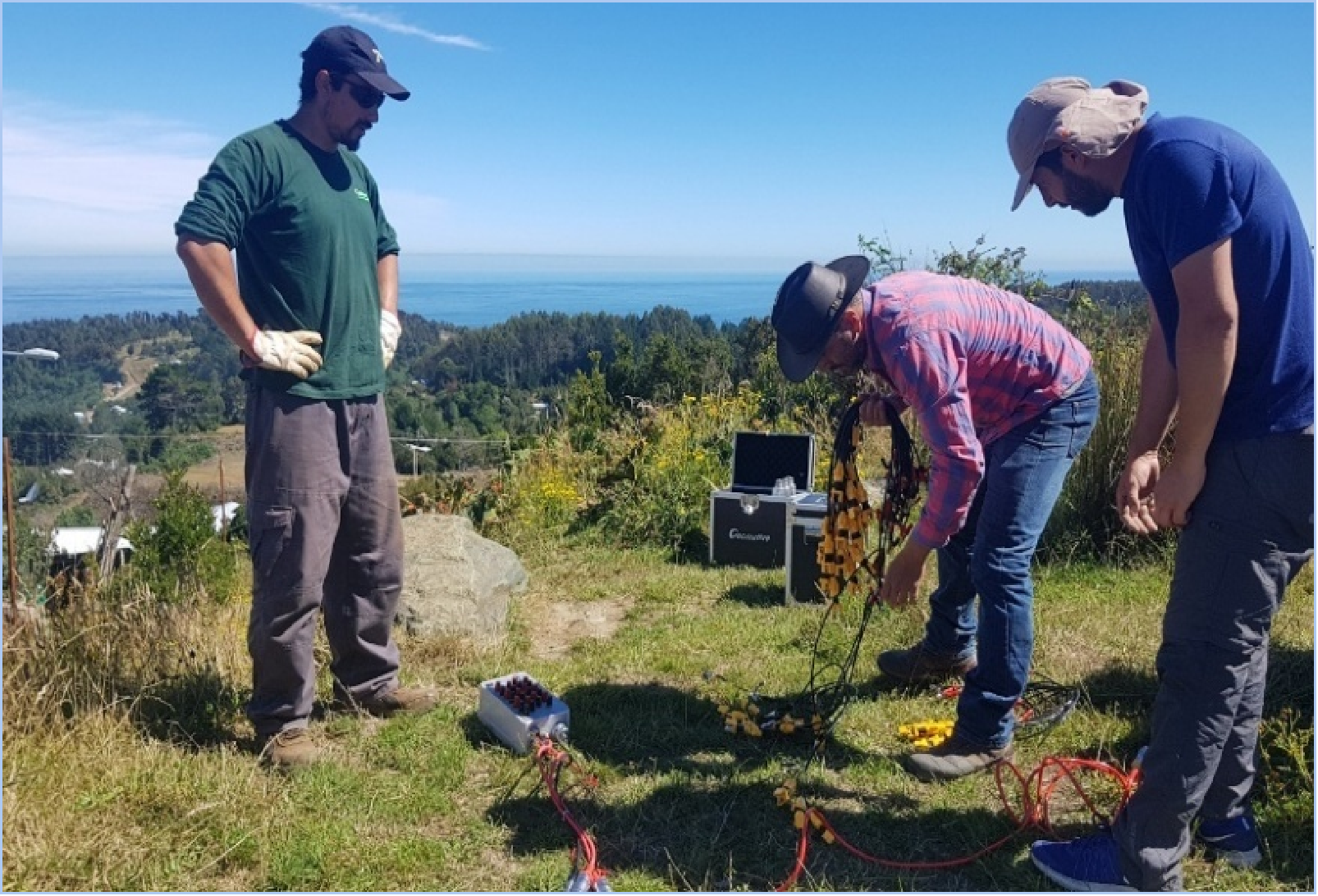
In Pará, Brazil, Geomative documented a high-density resistivity and IP survey using the GD-10 Supreme 2D+/3D+ configuration with 24 non-polarizing electrodes. The survey investigated electrical anomalies in an area considered prospective for mineralization. Such anomalies can help prioritize follow-up targets. Geological sampling, drilling, and assays are used to establish whether those targets contain gold mineralization.
At the Beishan Lead-Zinc Mine in Hechi, Guangxi, China, the GT-30 was used to investigate potential mineralized zones and groundwater underground. Geomative reports that subsequent exposure at the site agreed with the interpreted locations of the lead-zinc body and aquifer.
Guideline Geo (ABEM)
Guideline Geo’s ABEM Terrameter LS 2 supports multi-electrode resistivity and IP surveys. For a planned ground program, compare the available receiver and electrode switching configurations against the array, line length, and acquisition schedule.
Zonge International
Zonge provides instruments for ground resistivity, IP, and TEM surveys. Its transmitter and receiver options can be configured for different survey methods. Teams investigating a conductive or chargeable target should compare the proposed setup and processing workflow against the response they expect from the target.
IRIS Instruments
IRIS Instruments offers multi-channel resistivity and IP equipment, including the Syscal Pro for sounding and profiling. For a gold exploration survey, check the transmitter and electrode switching options for the planned array and confirm how resistivity, chargeability, and any required waveform data can be exported.
Geotech Ltd.
Geotech provides airborne geophysical survey services, data processing, and interpretation. Its electromagnetic offerings include the active VTEM system and passive ZTEM system. Teams considering airborne coverage can compare flight-line spacing, expected sensitivity to the target, and deliverables before planning ground follow-up.
Choosing a Survey Approach
Start with the target’s expected electrical properties, size, depth, and geological setting. Then compare the survey geometry, achievable transmit output, acquisition rate, field quality control, and processing requirements. Ask equipment suppliers for specifications tied to the proposed configuration. Ask survey contractors for examples of deliverables from comparable ground conditions or target settings. Use geophysical results alongside geological mapping and sampling to prioritize follow-up, with drilling and assays where appropriate to verify gold mineralization.
https://www.geomative.com/
Geomative Co., Ltd.