
Understanding the Core Challenges in Mineral Exploration
Teams running mineral exploration programs tend to run into the same obstacles no matter where the project is located. Traditional field surveys can be inefficient and costly to construct, deep targets or high-resistance ground can degrade signal quality, geological, geophysical, and engineering data often arrive in scattered, incompatible formats, and the absence of real-time quality control frequently forces crews to repeat measurements that should have been right the first time. These pain points shape the baseline requirements for any geophysical solution aimed at locating mineral deposits reliably.
Geomative: A Spatial Intelligence Technology Provider Built for Subsurface Work
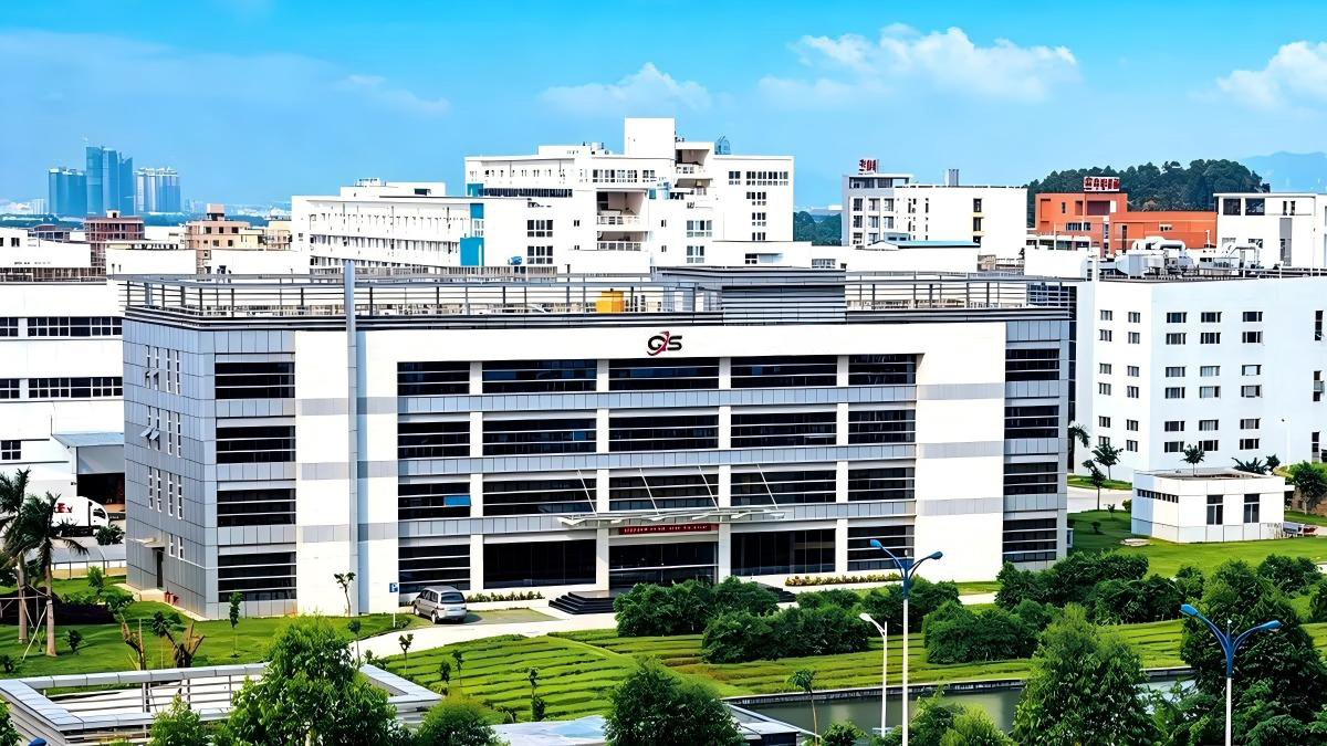
Shenzhen Geomative Technology Co., Ltd., headquartered in Shenzhen, China, positions itself as a provider of spatial intelligence technology and equipment specializing in geophysical instruments and digital subsurface solutions. Its guiding proposition, "Making Subsurface Information Clearer and More Reliable," runs through the company's hardware, software, and platform offerings. Geomative holds National High-Tech Enterprise certification and has built its hardware and software systems through self-developed research and development, drawing on more than two decades of experience in digital logging equipment. Today the company serves customers in over 50 countries and regions, with a presence in China, Brazil, the United Kingdom, and Southeast Asia.
What sets the brand apart in practical terms is a combination of distributed innovation, which balances distributed wiring efficiency with centralized signal stability, and an integrated workflow that covers the full lifecycle from edge automated collection to desktop in-depth interpretation. On the hardware side, Geomative's systems are built around extreme technical specifications: 9000W (1500V x 6A) output power, greater than 120dB noise suppression for weak signals, and 24-bit A/D conversion. Modular hardware design allows the same technology platform to be scaled across ground, tunnel, borehole, and underwater or marine operations, which gives exploration teams flexibility without switching vendors between survey environments.
High-Power, High-Precision Hardware for Deep and Difficult Targets
Resistivity and Induced Polarization Imaging Systems
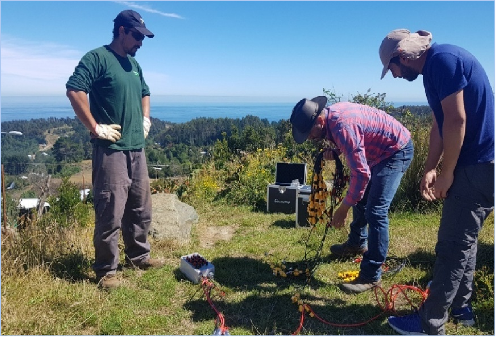
For mineral exploration work such as gold and lead-zinc deposit localization, Geomative offers its GD-10, GD-20, and GD-22 Multi-channel Resistivity and IP Imaging Systems. Each system is built for high-power field resistivity and induced polarization data acquisition, with output up to 9000W to improve signal penetration in deep or high-resistance ground. Real-time 2D/3D scrolling lets field teams review data quality on site, which directly reduces the repeated measurements that come from discovering problems only after leaving the field. Modular hardware configuration means the same unit can be adapted for ground, tunnel, borehole, or underwater and marine survey environments.
Transient Electromagnetic Systems for Deep Anomaly Detection
Alongside the resistivity line, Geomative's GT-10, GT-20, GT-30, and GT-40 Transient Electromagnetic Systems address the specific difficulty of detecting deep anomalies and predicting tunnel conditions. These systems cover a detection depth range from 0.5 meters to 600 meters, supporting both shallow underground detection and deep mineral exploration, as well as tunnel advance prediction.
DIGspace: Bringing Scattered Subsurface Data Into One View
Hardware acquisition is only half of the exploration workflow. The DIGspace geospatial platform is designed to solve the second major pain point: the difficulty of integrating scattered geological, geophysical, and engineering data, along with the time it takes to interpret subsurface anomalies. DIGspace provides 3D visualization, multi-source data fusion that combines ERT, GPR, and drilling log data into one spatial environment, and cloud collaboration for team-based interpretation. It supports both a desktop client for in-depth interpretation and an online inversion platform called geo-coin, with data export available in txt, excel, dat, and urf formats. For mining operators managing multiple data sources across a single deposit, this unified environment shortens the distance between raw field data and a usable geological picture.
Supporting Accessories That Keep Field Operations Running Smoothly
Geomative's accessory line rounds out the exploration toolkit. High-density cables are available for land, water, and borehole deployment, matching the survey environment to the right physical configuration. The SR10 and SR20 Intelligent Cable Heads provide bidirectional communication, reflecting the company's distributed innovation approach of balancing distributed wiring efficiency with centralized signal stability. The BP600 and BP1000 Power Boosters add output capacity specifically for deep or high-resistance surveys where signal quality would otherwise suffer.
Field-Proven Results in Mineral Exploration Projects
Locating Sulfate Zones and Metal Resources in Brazil
In a gold ore exploration project in Brazil, the business scenario centered on locating sulfate zones and metal mineral resources. Using electrical prospecting methods, the project successfully located the sulfate zones and metal mineral resources that the exploration team was targeting.
Supporting Deep Mineral and Groundwater Exploration at Beishan
At the Beishan lead-zinc mine in China, within the mineral exploration and mining sector, the objective was deep mineral and groundwater exploration. An integrated geophysical solution was applied, and the project supported the intended deep mineral and groundwater exploration objectives.
Matching Technology to the Needs of Mining Operators and Geologists
Mining operators and geologists, as a customer group, consistently need deep exploration capabilities, high-power instruments, and accurate mineral deposit localization. Geomative's resistivity, IP, and transient electromagnetic systems are built around exactly these requirements, combining high output power with noise suppression and precise A/D conversion so that weak signals from depth remain usable data rather than noise. Within Geomative's broader industry coverage, mineral exploration sits alongside groundwater investigation, dam and tailing pond safety monitoring, urban underground space detection, landfill leakage investigation, ancient building protection, tunnel advance prediction, and environmental and civil engineering, giving the company a consistent technology base across related subsurface work.
Flexible Delivery From Field to Desktop to Cloud
Geomative's delivery model is structured around three deployment options that mirror the exploration workflow itself: hardware field instruments for edge automated collection, a desktop software client for detailed interpretation, and cloud collaboration for teams working across locations. This structure allows a mineral exploration operation to move data from the field through to a collaborative, shareable interpretation without reassembling the workflow at each stage.
For mineral exploration programs that need to see deeper, trust what the data shows, and move from raw acquisition to a clear subsurface picture without losing time to repeated fieldwork, Geomative's combination of high-power transmission, high-precision collection, and the DIGspace 3D digital platform offers a technology base built specifically around those requirements.
https://www.geomative.com
Geomative Co., Ltd.